We have the data that drives effective community development

SEMO GIS is a repository of data essential to the development and growth of communities and infrastructure in Bollinger, Cape Girardeau. Iron, Madison, Perry, St. Francois and St. Genevieve counties and other municipalities within our region.

We have the information your communities need.

SEMOGIS is a repository for public and local officials to gain access to local GIS data—including emergency services, voting districts, hydrology, roads and railroads, school districts, parcels, etc. Not all data is available for all counties.

SEMO RPC Member Counties

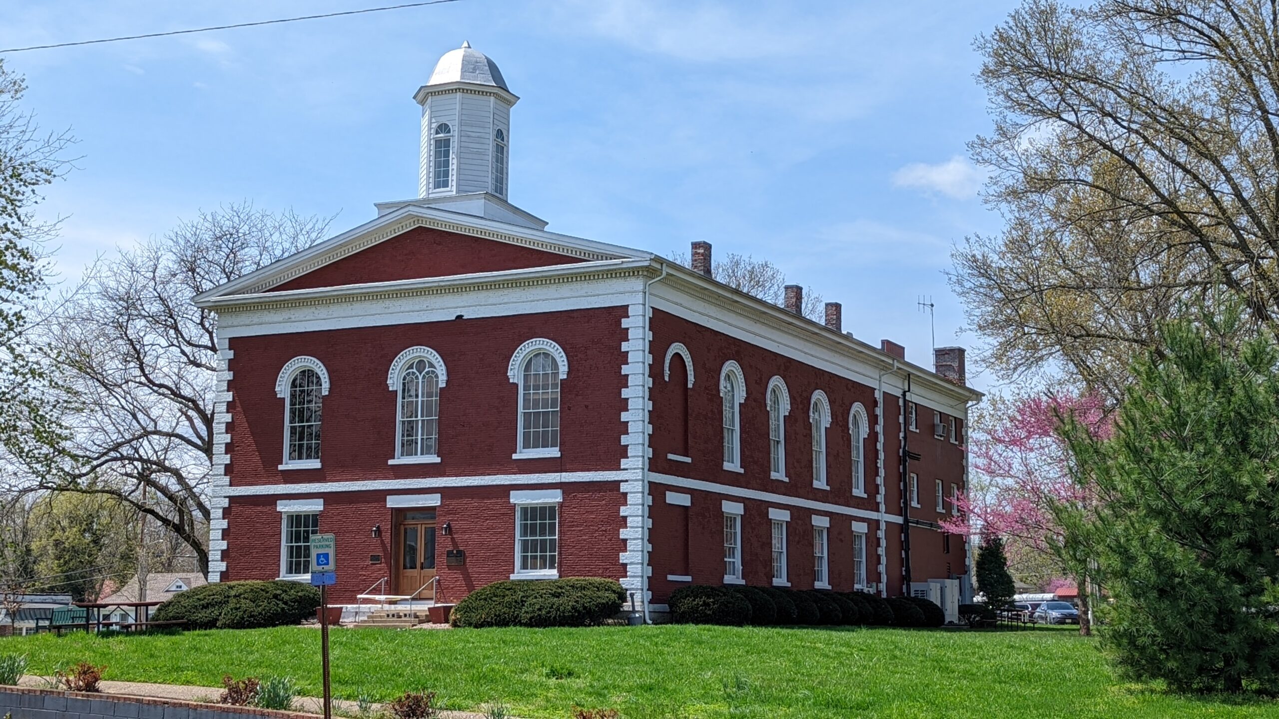
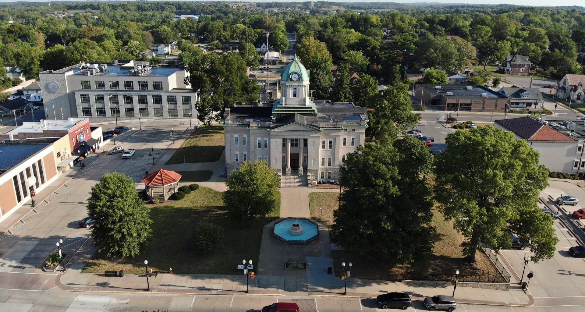
Iron County Courthouse
Iron County, Missouri
View Maps
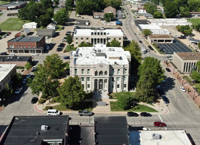
Farmington Courthouse
St. Francois County
View Maps
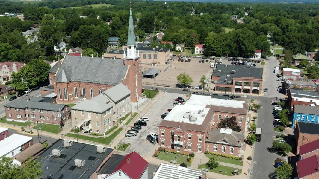
Ste Gen Courthouse & Church
Ste. Genevieve County
View Maps
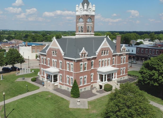
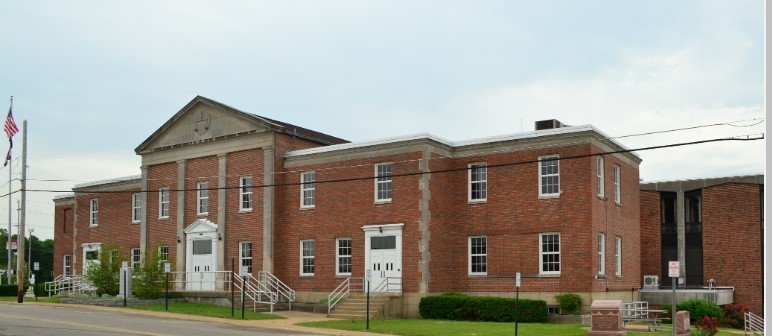
Perryville Courthouse
Perry County
View Maps
Jackson Courthouse
Cape Girardeau County
View Maps
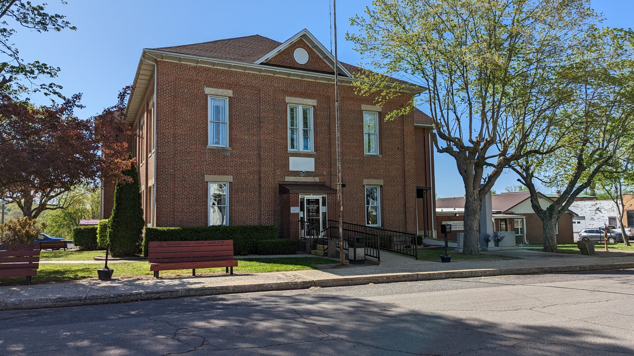
Bollinger County
View Maps
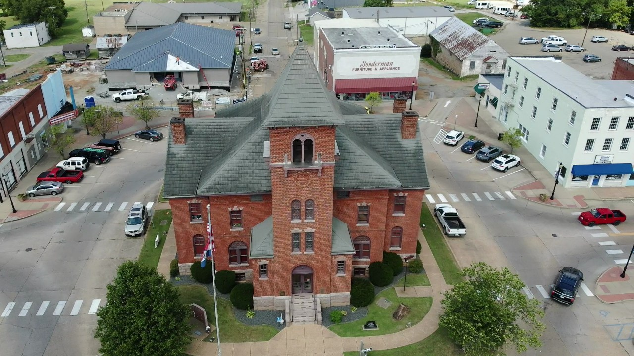
Fredericktown Courthouse
Madison County
View Maps
Jefferson County
View Maps
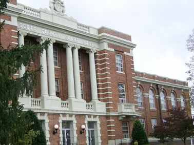
Scott County, Missouri
View Maps
Southeast Metropolitan Planning Organization
View Maps
Washington County, Missouri
View Maps

SEMO RPC Other Entities

SEMO RPC News and Events

Explore the latest grant cycles along with upcoming project and conferences.